Whitewood Mine closure

|
Authors: MacKenzie, DD; Renkema, KN; Kuchmak, DV; Janssen, G |
DOI https://doi.org/10.36487/ACG_rep/1152_94_Kuchmak
Cite As:
MacKenzie, DD, Renkema, KN, Kuchmak, DV & Janssen, G 2011, 'Whitewood Mine closure', in AB Fourie, M Tibbett & A Beersing (eds), Mine Closure 2011: Proceedings of the Sixth International Conference on Mine Closure, Australian Centre for Geomechanics, Perth, pp. 261-268, https://doi.org/10.36487/ACG_rep/1152_94_Kuchmak
Abstract:
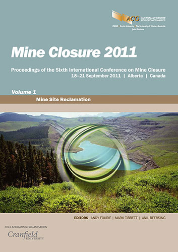
Transalta’s Whitewood Mine is one of three TransAlta-owned surface coal mines. It is located north of Lake Wabamun, about 70 kilometres (43 miles) west of Edmonton, Alberta, and has been in operation since 1962. The mine is in the final stages of closure after almost 50 years of operation. To date, approximately 1665 hectares of post-disturbed land has been reclaimed, including one end pit lake, numerous wetland features, woodland/wildlife areas revegetated through assisted natural recovery and in the majority, perennially cropped agricultural lands. A total of 890 hectares of reclaimed land has been certified with another 480 hectares in process with the regulators. The remaining 210 hectares will be reclaimed to include two end pit lakes surrounded by wildlife/wetland habit thus completing the reclamation closure plan. Current challenges for the closure of Whitewood Mine include a topsoil deficit (Parkland forests have very little topsoil) for placement, erosion control around the end pit lakes, weed control, reforestation, shoreline and wildlife habitat revegetation and end land use transfer. Given the lack of topsoil on pre-mined lands, vast areas have been reclaimed using only suitable overburden resulting in the creation of mostly class 3 to 5 agricultural capabilities. Past studies on the mine show the overburden is of good quality and with proper fertilization the crop yields are equivalent to areas reclaimed with topsoil. Reclamation practices have evolved overtime along with regulatory requirements. Proposed adaptive management practices to overcome these challenges are discussed.
References:
Agriculture and Agri-Food Canada (27/11/2008) Overview of classification methodology for determining land capability for agriculture (Agriculture and Agri-Food Canada), Canada viewed 6 June 2011, .
Government of Alberta (2008) Weed control act, Chapter W-5.1, Queen's Printer, Edmonton, Alberta, Canada, viewed 20 April 2011, 9780779749867.
Leskiw, L.A. (1993) Agricultural capability classification for reclamation: working document, Alberta Conservation and Reclamation Council Report No. RRTAC 93-13, Edmonton, Alberta, Canada, 97 p.
Northwest Corporation (2009) Whitewood mine closure plan–geotechnical assessment report, Vancouver, British Columbia, Canada, 90 p.
Soil Quality Criteria Working Group (1987) Soil quality criteria relative to disturbance and reclamation (revised), Alberta Agriculture, Edmonton, Alberta, Canada, 51 p.
TransAlta Corporation (1983–2009) Annual report Whitewood Mine, Calgary, Alberta.
TransAlta Corporation (1993) Reclamation certificate application East Pit Lake – Whitewood Mine, Calgary, Alberta.
© Copyright 2025, Australian Centre for Geomechanics (ACG), The University of Western Australia. All rights reserved.
View copyright/legal information
Please direct any queries or error reports to repository-acg@uwa.edu.au
View copyright/legal information
Please direct any queries or error reports to repository-acg@uwa.edu.au