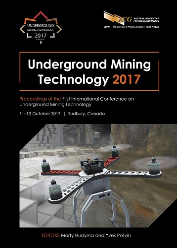
Underground versatile laser scanning solution

|
Authors: Rodriguez, G |
DOI https://doi.org/10.36487/ACG_rep/1710_35_Rodriguez
Cite As:
Rodriguez, G 2017, 'Underground versatile laser scanning solution', in M Hudyma & Y Potvin (eds), UMT 2017: Proceedings of the First International Conference on Underground Mining Technology, Australian Centre for Geomechanics, Perth, pp. 445-455, https://doi.org/10.36487/ACG_rep/1710_35_Rodriguez
Abstract:
Laser scanning and 3D point cloud data is used extensively in open pit and underground mining operations. Point cloud data generated with laser scanners has improved survey, conformance, and geotechnical process efficiency and has become a key data component for planning, operations and decision-making. The advent of new software tools designed specifically to manage real-time 3D scan data has also improved the accuracy, quality and usability of underground scan data, revolutionising workflows through the industry. In this paper, several case studies will demonstrate the versatility and value of laser scanning in the context of underground operations demonstrating the use of laser scanning and derived point cloud data to improve efficiency, reduce costs and increase the safety of staff and assets across the operation.
Keywords: laser scanning, filtering, modelling, productivity
© Copyright 2024, Australian Centre for Geomechanics (ACG), The University of Western Australia. All rights reserved.
View copyright/legal information
Please direct any queries or error reports to repository-acg@uwa.edu.au
View copyright/legal information
Please direct any queries or error reports to repository-acg@uwa.edu.au