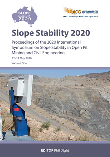
Evolution and management of large-scale instability: a case study from Ok Tedi

|
Authors: Kennedy, G; Casagrande, D |
DOI https://doi.org/10.36487/ACG_repo/2025_13
Cite As:
Kennedy, G & Casagrande, D 2020, 'Evolution and management of large-scale instability: a case study from Ok Tedi', in PM Dight (ed.), Slope Stability 2020: Proceedings of the 2020 International Symposium on Slope Stability in Open Pit Mining and Civil Engineering, Australian Centre for Geomechanics, Perth, pp. 265-280, https://doi.org/10.36487/ACG_repo/2025_13
Abstract:
Ok Tedi is an open pit copper-gold porphyry mine located near the upper Ok Tedi River in the highlands of the Western Provence, Papua New Guinea. The mine is one of the wettest in the world, receiving an average rainfall of between 10 m to 12 m per annum. Since 2008, the West Wall of the Ok Tedi mine has been experiencing instability with many large areas showing failure or pre-failure movements, with an estimated volume for ‘Block 1A’ of >8 Mm3. These failures pose significant risk to the operation from a safety and economic perspective, with the larger areas of instability posing a huge challenge to reaching the life-of-mine design. The failures range from small-scale ongoing erosional failures to very large and complex pit slope scale failure ‘blocks’, triggered initially by prolonged high rainfall events. The larger blocks are controlled by a combination of structure and poor rock mass, with movement significantly influenced by prolonged high rainfall events. Monitoring data indicates each failure block is in different stages of pre-failure movements, with some blocks in advanced stages indicating they are close to collapse. Successful failure management requires a thorough understanding of the geotechnical model, the failure mechanism(s), triggers and behaviour; and potential post failure deformations. It also requires a comprehensive monitoring system, coupled with a detailed pit slope risk management system. Without understanding of each of the above or appropriate monitoring and risk management systems in place, continuing operations in areas within influence or potentially impacted by slope failure significantly increases the safety and economic risks to the operation. The failure mechanism(s), triggers and behaviour evolved over time, and the evolution was identified by regular and rigorous review of multi-factorial datasets, including prism, piezometer, rainfall, radar, inclinometer and visual monitoring amongst others. This understanding allowed development of a detailed pit slope risk management system which included the use of trigger action response plans (TARPs), specified mining procedures and a detailed monitoring reporting system has allowed mining of an unloading cutback above the West Wall, which with improved surface water management has successfully mitigated the risk of multiple large-scale failures. This paper provides an overview of the failure mechanism of Block 1A, the use of monitoring to understand the movement triggers and behaviour, and the pit slope risk management program which has allowed the successful mining of the West Wall cutback to continue with ongoing pit slope movements.
Keywords: pit slope failure, failure management, slope monitoring
References:
Sullivan, TD 1993, ‘Understanding pit slope movements’, Proceedings of the Australian Conference on Geotechnical Instrumentation and Monitoring in Open Pit and Underground Mining, Kalgoorlie, Australia, pp. 435–445.
Sullivan, TD 2007, ‘Hydromechanical coupling and pit slope movements’, Proceedings of the 2007 International Symposium on Rock Slope Stability in Open Pit Mining and Civil Engineering, Slope Stability 2007, Australian Centre for Geomechanics, Perth.
Van Dongen, M, Wienberg, RF, Tomkins, AG, Armstrong, RA & Woodhead, JD 2010, ‘Recycling of Proterozoic crust in Pliestocene juvenile magma and rapid formation of the Ok Tedi porphyry Cu-Au deposit, Papua New Guinea’, Lithos, vol. 114, no. 3–4, pp. 282–292.
© Copyright 2026, Australian Centre for Geomechanics (ACG), The University of Western Australia. All rights reserved.
View copyright/legal information
Please direct any queries or error reports to repository-acg@uwa.edu.au
View copyright/legal information
Please direct any queries or error reports to repository-acg@uwa.edu.au
