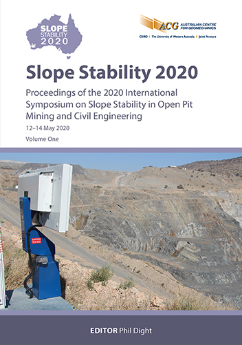
InSAR in the clouds: satellite-based monitoring at Grasberg Mine

|
Authors: Leighton, JM; Sullivan, M |
DOI https://doi.org/10.36487/ACG_repo/2025_14
Cite As:
Leighton, JM & Sullivan, M 2020, 'InSAR in the clouds: satellite-based monitoring at Grasberg Mine', in PM Dight (ed.), Slope Stability 2020: Proceedings of the 2020 International Symposium on Slope Stability in Open Pit Mining and Civil Engineering, Australian Centre for Geomechanics, Perth, pp. 281-292, https://doi.org/10.36487/ACG_repo/2025_14
Abstract:
Grasberg mining operations, operated by PT Freeport Indonesia (PTFI), offers unique challenges for monitoring ground displacement using satellite-based Interferometric Synthetic Aperture Radar (InSAR). The conditions on the ground, the extreme terrain and the turbulent tropical atmosphere all present problems that must be overcome to extract meaningful information about where, how much and when the ground is moving. This information provides a big picture overview for tracking geohazards, either in areas where no other monitoring exists or to inform decisions regarding ground instrumentation. InSAR is a wide-area monitoring technology that can generate over 10,000 ground displacement measurements per square kilometre with sub-centimetre precision. Although InSAR is a mature technology for monitoring ground instabilities, it has been put to the test in this unique environment since InSAR monitoring of the site began in 2014. Images are acquired every 11 days from two different directions to build a history of ground displacement. Despite the challenges at Grasberg, InSAR processing has been optimised with site-specific improvements to enable near-real-time displacement monitoring. The monitoring program encompasses the entire mine site including the pit, stockpiles, infrastructure, access roads and residential communities. In addition, specific tools were developed for monitoring surface displacement caused by the block caving operations. The operational monitoring program now deployed at Grasberg enhances the early warning systems for ongoing risk management. It has been integrated into mine operations through the monitoring control centres for the pit, underground, and civil geotechnical groups.
Keywords: InSAR, monitoring, remote sensing, displacement
References:
Hooper, A, Zebker, H, Segall, P & Kampes, B 2004, ‘A new method for measuring deformation on volcanoes and other non-urban areas using InSAR persistent scatterers’, Geophysical Research Letters, vol. 31, L23611,
Massonnet, D, Rossi, M, Carmona, C, Adagna, F, Peltzer, G, Feigl, K & Rabaute, T 1993, ‘The displacement field of the Landers earthquake mapped by radar interferometry’, Nature, vol. 364, no. 8, pp. 138‒142.
Nitti, DO, Hanssen, KF, Refice, RF, Bovenga, A & Nutricato, F 2011, ‘Impact of DEM-assisted coregistration on high-resolution SAR interferometry’, IEEE Transactions on Geoscience and Remote Sensing, vol. 49, no. 3, pp. 1127–1143.
Scheiber, R, Jager, M, Prats-Iraola, P, De Zan, F & Geudtner, D 2015, ‘Speckle tracking and interferometric processing of TerraSAR-X TOPS data for mapping nonstationary scenarios’, IEEE Journal of Selected Topics in Applied Earth Observations and Remote Sensing, vol. 8, no. 4, pp. 1709‒1720,
Wadge, G, Webley, PW, James, IN, Bingley, R, Dodson, A, Waugh, S, … & Clarke, PJ 2002, ‘Atmospheric models, GPS and InSAR measurements of the tropospheric water vapour field over mount etna’, Geophysical Research Letters, vol. 29, no. 19, pp. 11-1–11-4.
© Copyright 2026, Australian Centre for Geomechanics (ACG), The University of Western Australia. All rights reserved.
View copyright/legal information
Please direct any queries or error reports to repository-acg@uwa.edu.au
View copyright/legal information
Please direct any queries or error reports to repository-acg@uwa.edu.au
