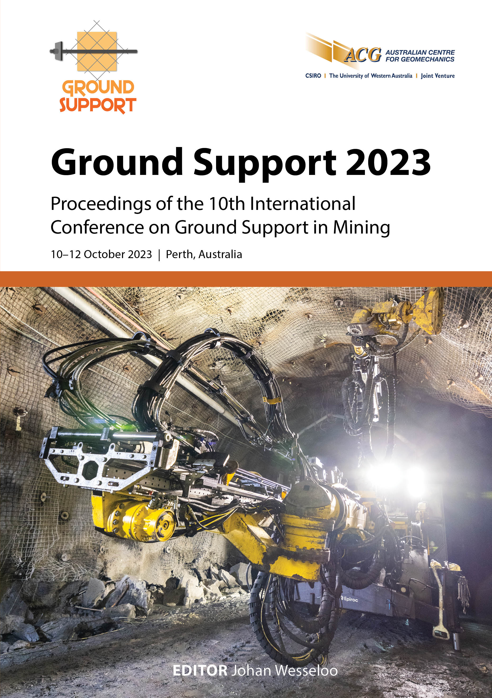
Monitoring of rock mass movement using a distributed array of wi-fi enabled extensometers

|
Authors: MacGregor, S; Seaward, P; Farrington, M |
DOI https://doi.org/10.36487/ACG_repo/2325_03
Cite As:
MacGregor, S, Seaward, P & Farrington, M 2023, 'Monitoring of rock mass movement using a distributed array of wi-fi enabled extensometers', in J Wesseloo (ed.), Ground Support 2023: Proceedings of the 10th International Conference on Ground Support in Mining, Australian Centre for Geomechanics, Perth, pp. 61-74, https://doi.org/10.36487/ACG_repo/2325_03
Abstract:
Measurement of ground movement into the rock mass around underground openings enables quantification of the timing, failure mode and depth of rock failure. Geotechnical instrumentation, such as extensometers, help to evaluate the performance of the ground support system, which leads to improved ground support design. The use of extensometers that monitor rock mass movement into and around the excavation are seen as complementary technology to LiDAR and other convergence monitoring. This paper outlines the development of an Internet of Things platform that comprises a four-anchor wire extensometer with integrated data logging that is wi-fi enabled. The system is supported by an analytical software suite. A case history provided from Fosterville Gold Mine outlines the deployment of RockSHIELD® in a wi-fi denied environment (tablet-based) as well as a fully networked, surface-controlled distributed array of sensors operating on a web-based platform. Integration with tablet- and web-based software enables operational personnel to readily access the data and manage ground fall risk on a shift-by-shift basis. Discussion is provided on the integration and synergies with LiDAR and other ground convergence monitoring approaches to fully utilise the value of current ground monitoring systems.
Keywords: extensometer, wi-fi, ground support, rock mass monitoring, Fosterville Gold Mine
References:
Department of Mines, Industry Regulation and Safety 2019, Ground Control Management in Western Australian Mining Operations – Guidelines, Department of Mines, Industry Regulation and Safety, Perth.
Evans, P 2021, Improving Convergence Monitoring Using LiDAR Data at Rio Tinto’s Argyle Diamond Mine, Emesent, Milton.
Fuller, T & Hann, I 2019, Updated NI 43-101 Technical Report for Kirkland Lake Gold, Fosterville Gold Mine.
Kovári, K & Amstad, C 1979, ‘Decision making and field measurements in tunnelling’, 25th Oyo Anniversary Lecture Meeting, Federal Institute of Technology, Zurich.
Thompson, PW, MacGregor, SJ & Dight, P 1993, ‘Instrumentation monitoring at an underground mine to establish failure mechanisms, confirm numerical modelling and determine safe working conditions’, Proceedings of the Australian Conference on Geotechnical Instrumentation and Monitoring in Open Pit and Underground Mining, A.A. Balkema, Rotterdam,
pp. 501–511.
Vallati, O, Roach, W & Weaver, S 2020, ‘Ground support and strata monitoring: what is needed?’, in J Wesseloo (ed.), UMT 2020: Proceedings of the Second International Conference on Underground Mining Technology, Australian Centre for Geomechanics, Perth, pp. 285-296,
© Copyright 2026, Australian Centre for Geomechanics (ACG), The University of Western Australia. All rights reserved.
View copyright/legal information
Please direct any queries or error reports to repository-acg@uwa.edu.au
View copyright/legal information
Please direct any queries or error reports to repository-acg@uwa.edu.au
