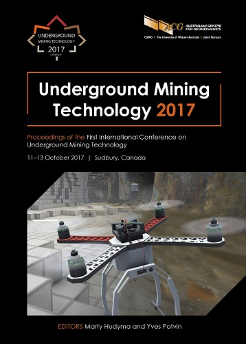
Use of unmanned aerial vehicles to supplement conventional investigation methods for underground open void stability and mitigation

|
Authors: Preston, RP; Roy, J |
DOI https://doi.org/10.36487/ACG_rep/1710_49_Preston
Cite As:
Preston, RP & Roy, J 2017, 'Use of unmanned aerial vehicles to supplement conventional investigation methods for underground open void stability and mitigation', in M Hudyma & Y Potvin (eds), UMT 2017: Proceedings of the First International Conference on Underground Mining Technology, Australian Centre for Geomechanics, Perth, pp. 609-616, https://doi.org/10.36487/ACG_rep/1710_49_Preston
Abstract:
As part of the scope to investigate the stability of and remediation options for a large underground open void (stope) complex at the Giant Mine Remediation Project (an inactive underground gold mine in the Northwest Territories), Golder’s project team built and flew a custom unmanned aerial vehicle (UAV) in order to inspect inaccessible areas of the stope and connected development workings. The UAV surveys supplemented traditional investigation techniques including borehole-based camera surveys and LIDAR scanning (cavity monitoring system, CMS) and was successful in filling information and data gaps while reducing overall investigation costs. 3D geometry models built from UAV flight video were found to accurately reproduce the shape of the excavation when compared to incomplete CMS data collected from boreholes that intersected the void.
Keywords: unmanned aerial vehicle, drone, underground investigation, cavity monitoring system
References:
Braden, B 2016, ‘Eyes in the high skies’, Canadian Mining Journal, August 2016, pp. 38–41.
James, M & Robson, S 2012, ‘Straightforward reconstruction of 3D surfaces and topography with a camera: accuracy and geoscience application’, Journal of Geophysical Research: Earth Surface (2003–2012), vol. 117, no. F3.
Westoby, MJ, Brasington, J, Glasser, NF, Hambrey, MJ & Reynolds, JM 2012, ‘Structure-from-Motion’ photogrammetry: a low-cost, effective tool for geoscience applications’, Geomorphology, vol. 179, pp. 300–314.
© Copyright 2026, Australian Centre for Geomechanics (ACG), The University of Western Australia. All rights reserved.
View copyright/legal information
Please direct any queries or error reports to repository-acg@uwa.edu.au
View copyright/legal information
Please direct any queries or error reports to repository-acg@uwa.edu.au